|
Shore-based Photogrammetry of Surface
Oceanography for Oil Spill Mitigation
| Funded by: |
Maine
Sea Grant |
| Principal Investigator: |
A. Pershing |
| Co-Principal Investigators: |
Andrew Thomas |
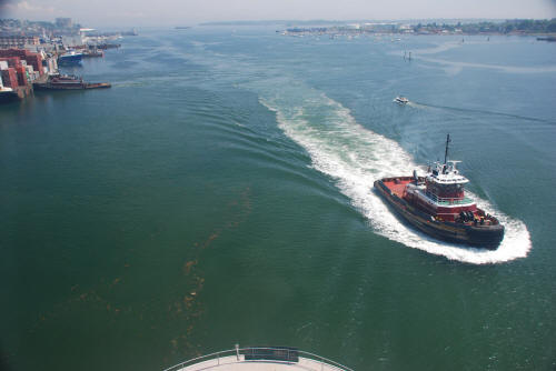
OBJECTIVES: Develop and test a shore-based system for
mapping surface oceanographic features.
METHODOLOGY: Images from a shore-based digital camera
will be georectified to provide a simulated aerial view.
From a sequence of images, we will extract information
on surface oceanography and will serve the data in
near-real time.
RATIONALE: Oil spill response and planning requires
detailed information on the
movements of the top few centimeters of the ocean. We
will develop a low-cost system for monitoring surface
conditions using shore-based digital photography. We
will use the system to provide real-time information in
Portland Harbor and will evaluate the cost and
feasibility of deploying the system in Maine’s major oil
ports. The system has major implications for other
environmental issues as well as home-land security.
 |